By Ilaria Lievore and Mar Cañizares Espafador
The first Mapineq workshop took place in Madrid on March 21-22 at UNED’s Department of Sociology II. The two-day event, titled “Digital and Geospatial Data in Sociological Research,” was an immersive experience for participants with diverse academic backgrounds, featuring two experts on geospatial data and digital trace data.
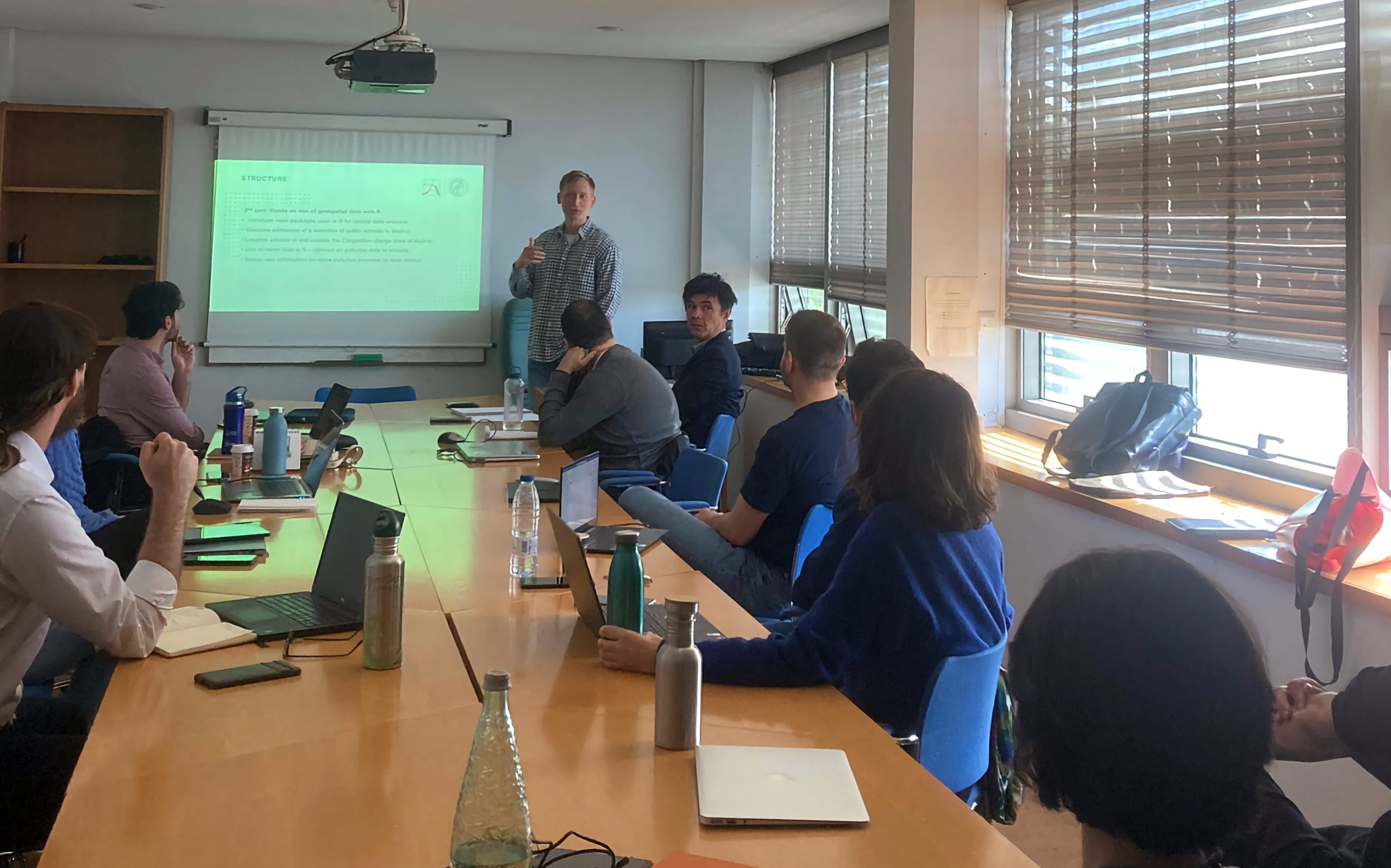
On day one, Risto Conte (Max Planck Institute for Demographic Research, Rostock) discussed how climatic and geospatial data can be used in sociological research. We explored what exactly geospatial and climatic data are, where to find open-source data on climatic variables, and how to use geospatial data effectively. Additionally, we learned about the primary packages used in R for spatial data analysis, how to geocode addresses, and how to use raster data in R.
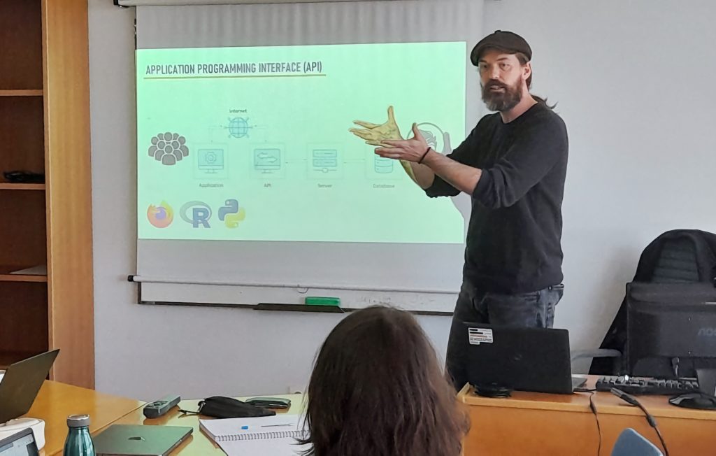
On day two, Douglas Leasure (Leverhulme Centre for Demographic Science and member of the Mapineq consortium) presented how to use APIs (application programming interfaces) for research. We delved into what APIs are, ongoing research that utilizes them, and how they can be useful to explore new research questions. We also reviewed public APIs that could be valuable sources of data for sociologists and digital demographers, followed by practical examples on how to query an API from R or Python.
This workshop provided us with fresh insights and ideas for our work for the Mapineq project on social inequalities through the life course, with an emphasis on geospatial inequalities. By using APIs to explore differences at the local and regional levels in the drivers of inequality and in patterns of educational inequalities, we can leverage new data sources to advance our research.
The workshop was a resounding success, and we are eager to repeat this experience with the Mapineq team at our next meeting in sunny Madrid in 2024.
Don’t miss our future events – Subscribe to our newsletter!